About this Non-Statutory Consultation
Thank you to everyone who took part and shared their views.
The consultation provided an opportunity to learn more about how the preferred OCS location was selected and refined, and invited feedback on the early design concepts to help inform the next stage of design development.
A summary report of feedback received from local communities during the statutory consultation can be downloaded here.
The presentation from the webinar on 8 July 2026 can be accessed below.
OCS Non-Statutory Consultation Materials and Visualisations
The consultation materials and illustrative visualisations remain available below for reference.
DBD Non-Statutory Consultation Brochure on the OCS View/Download
DBD OCS Feedback Form View/Download
DBD Visualisation from Viewpoint 1 Shepherd Lane View/Download
DBD Visualisation from Viewpoint 2 Beverley 20, near Jillywood Farm View/Download
DBD Visualisation from Viewpoint 3 Beverley Parks View/Download
DBD Visualisation from Viewpoint 5 Footpath along new A164 View/Download
DBD OCS Consultation Boards View/Download
DBD OCS Webinar Presentation View/Download
Visualisations
These visualisations show what the proposed OCS could look like within the surrounding landscape.
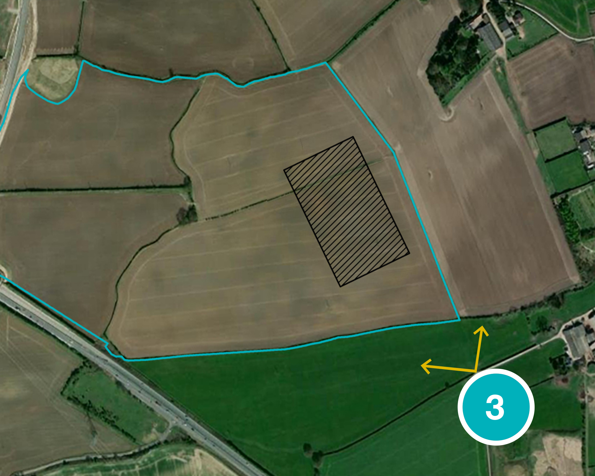
They are based on an indicative model that illustrates the location of the OCS platform, as well as the form of the valve hall and other components within the site. For the purposes of non-statutory consultation, four representative viewpoints have been selected. These viewpoints represent a range of receptors and viewing directions around the OCS.
An additional four viewpoints will be presented at the ES stage, for a total of eight viewpoints.
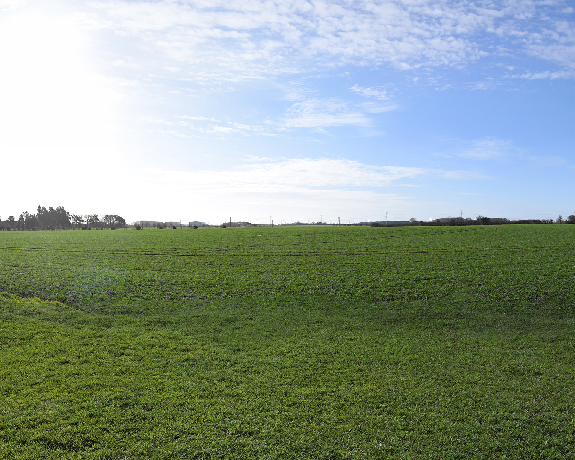
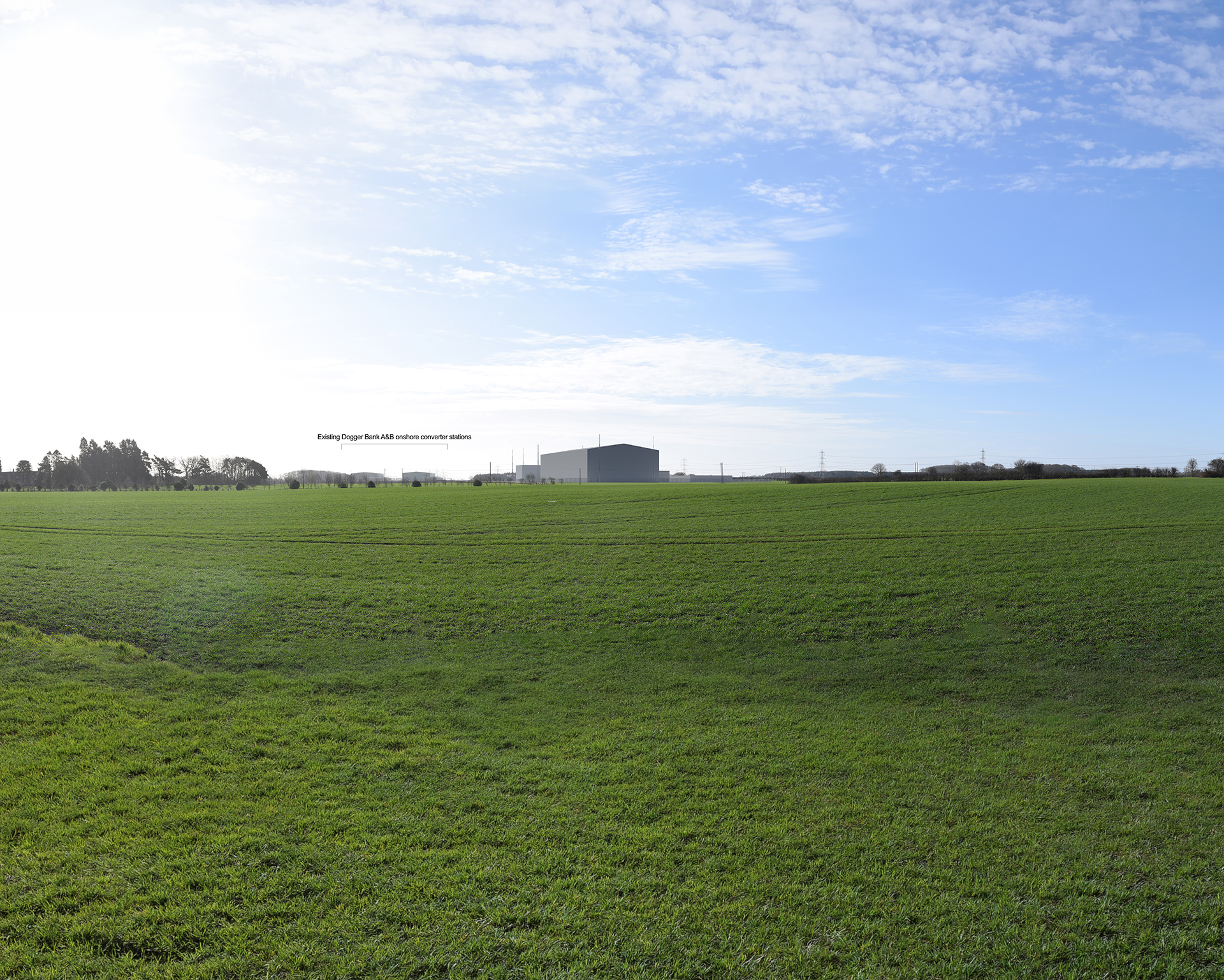
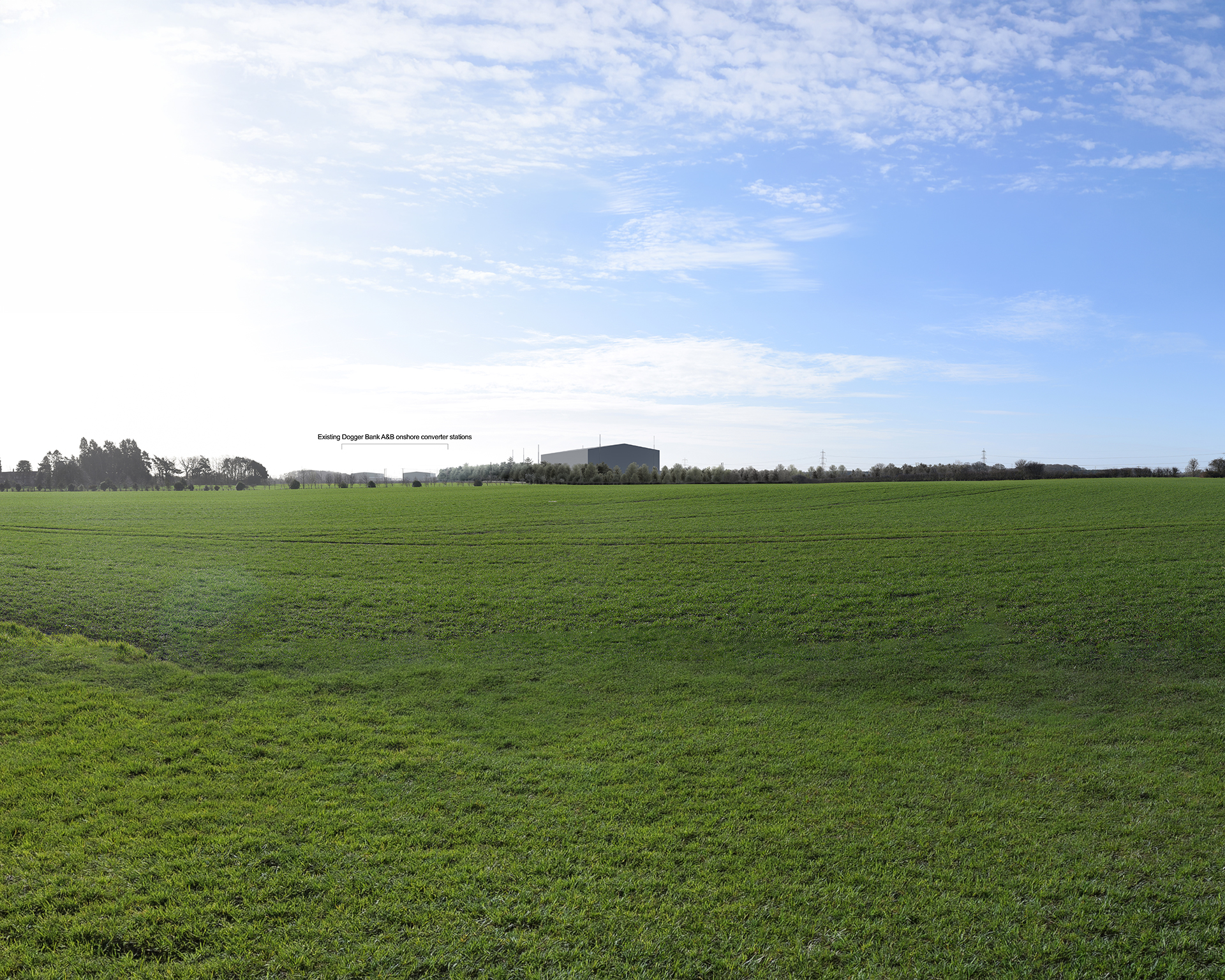
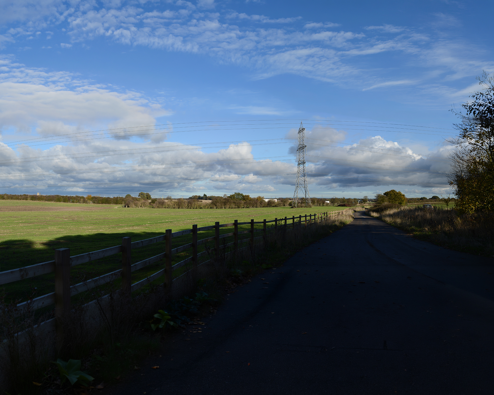
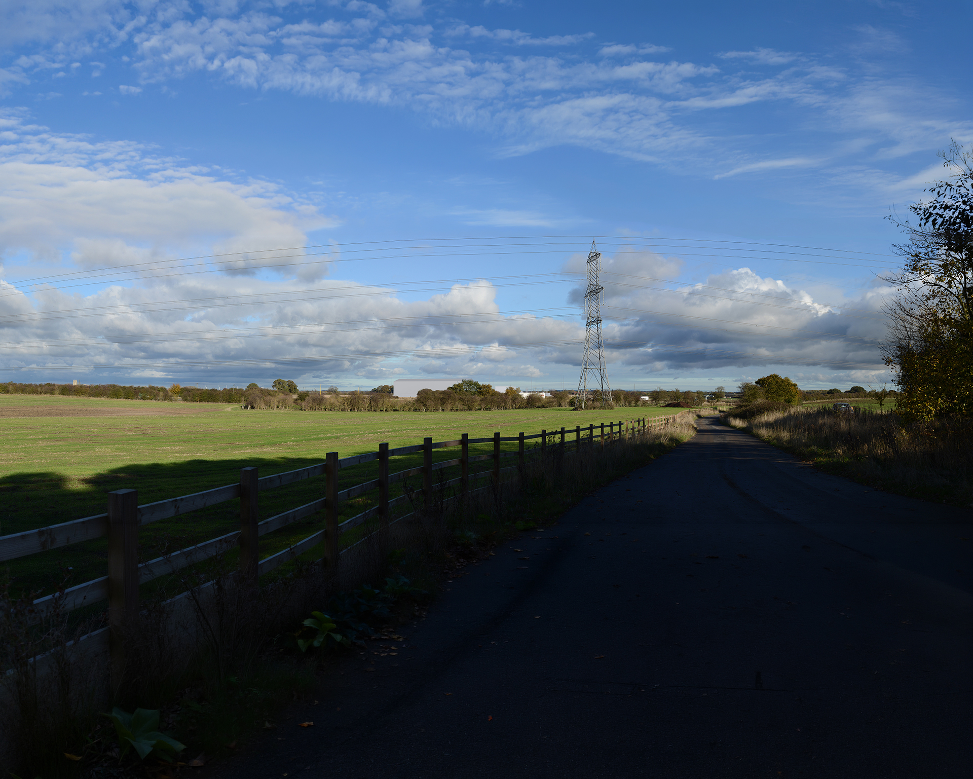
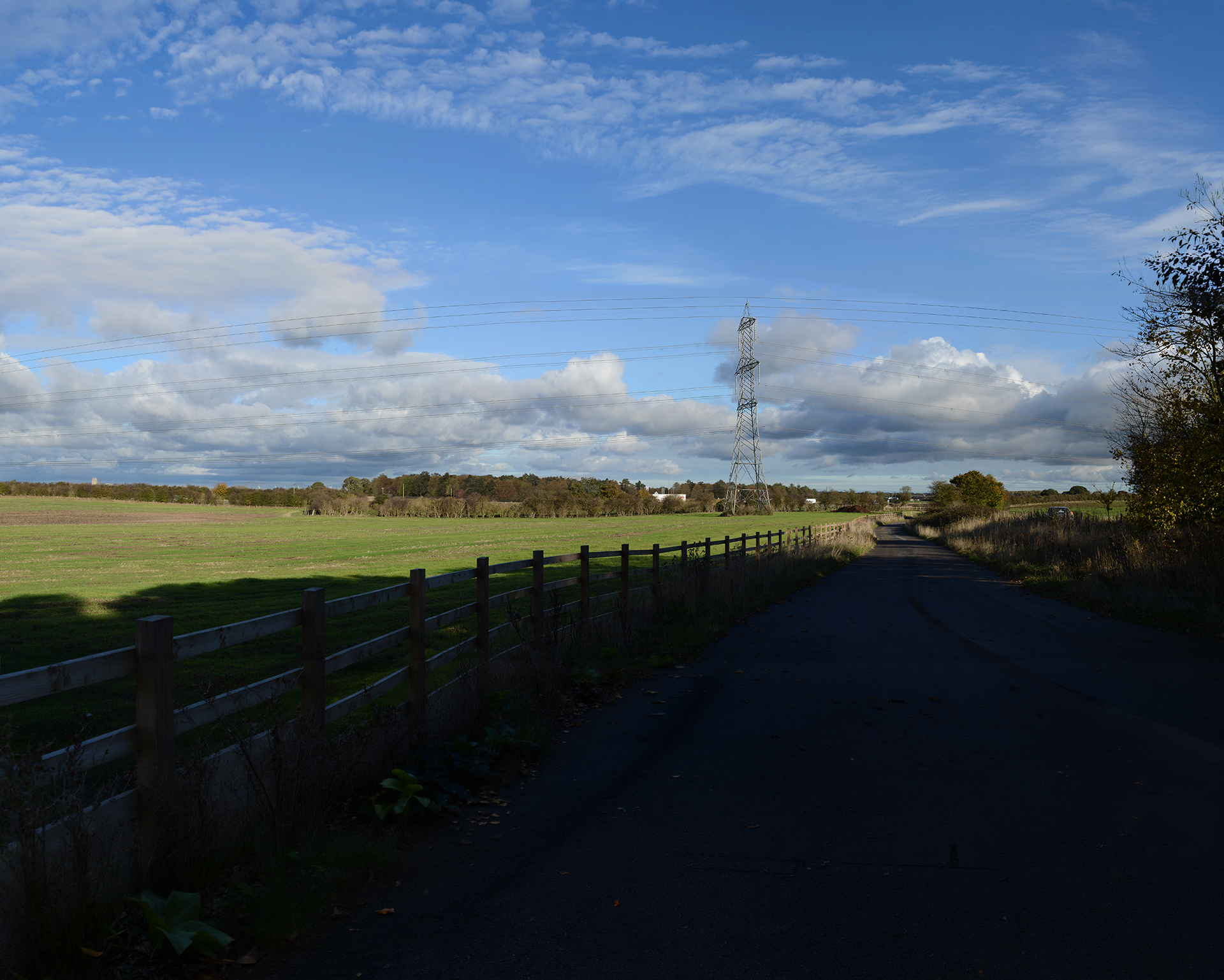
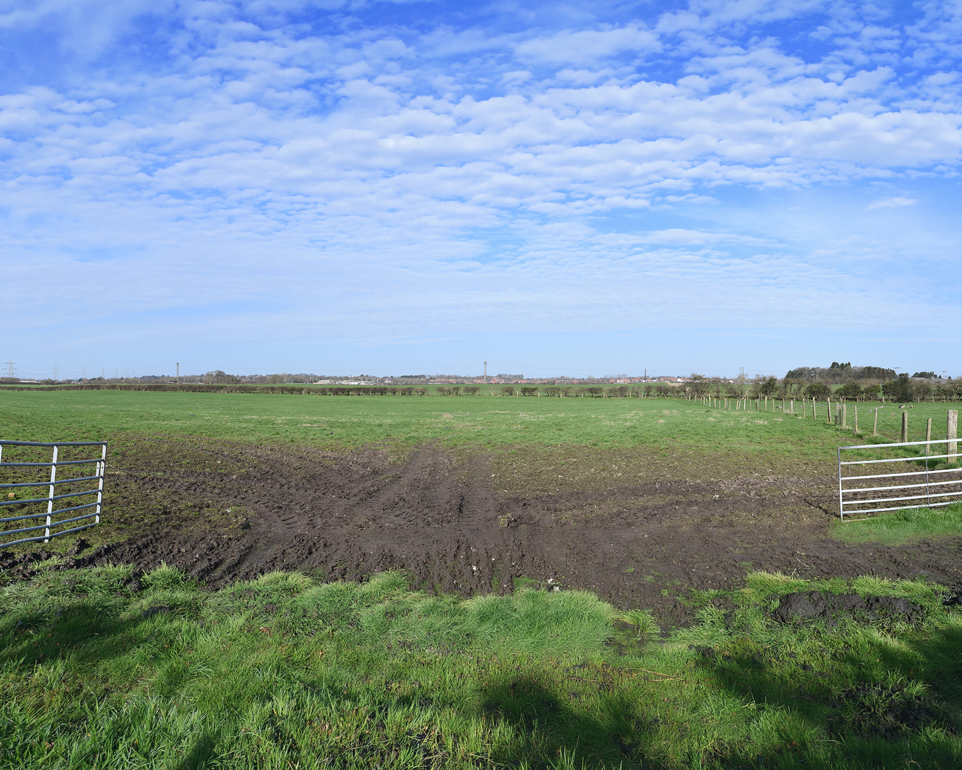
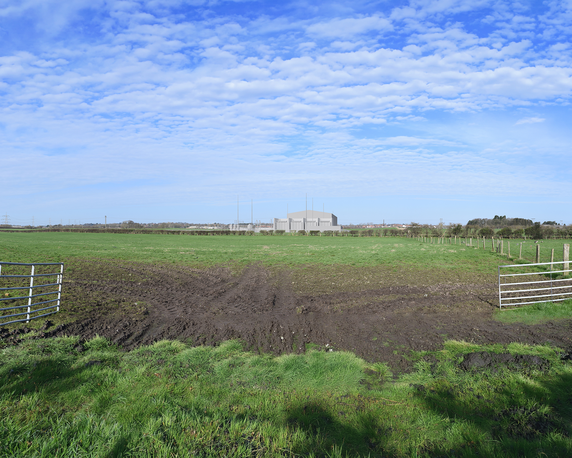
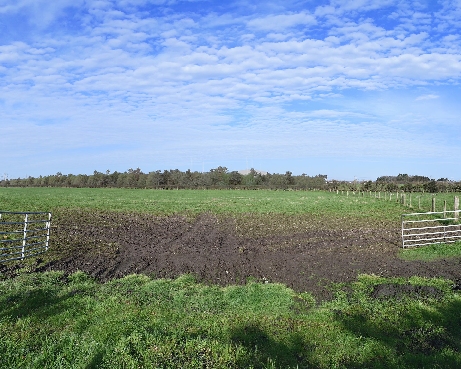
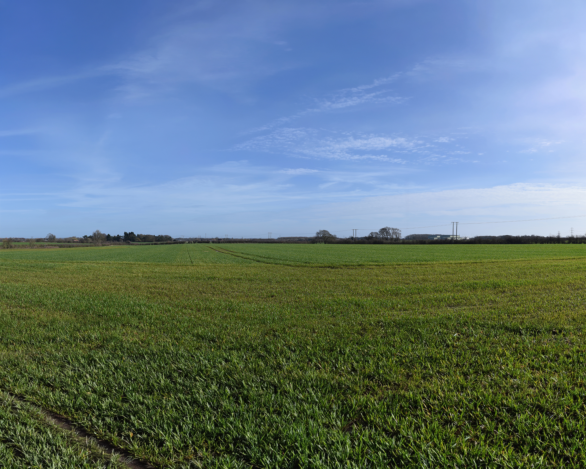
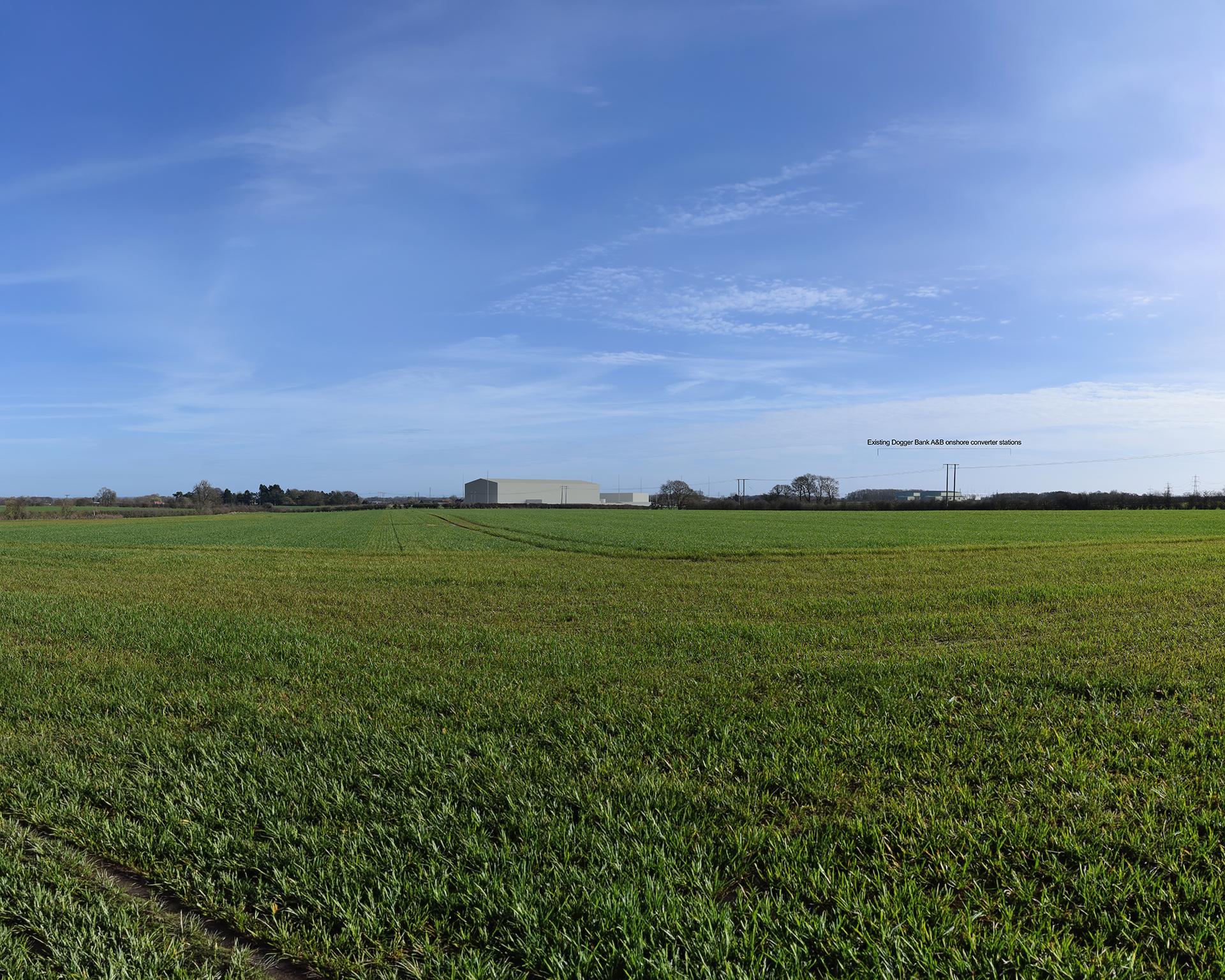
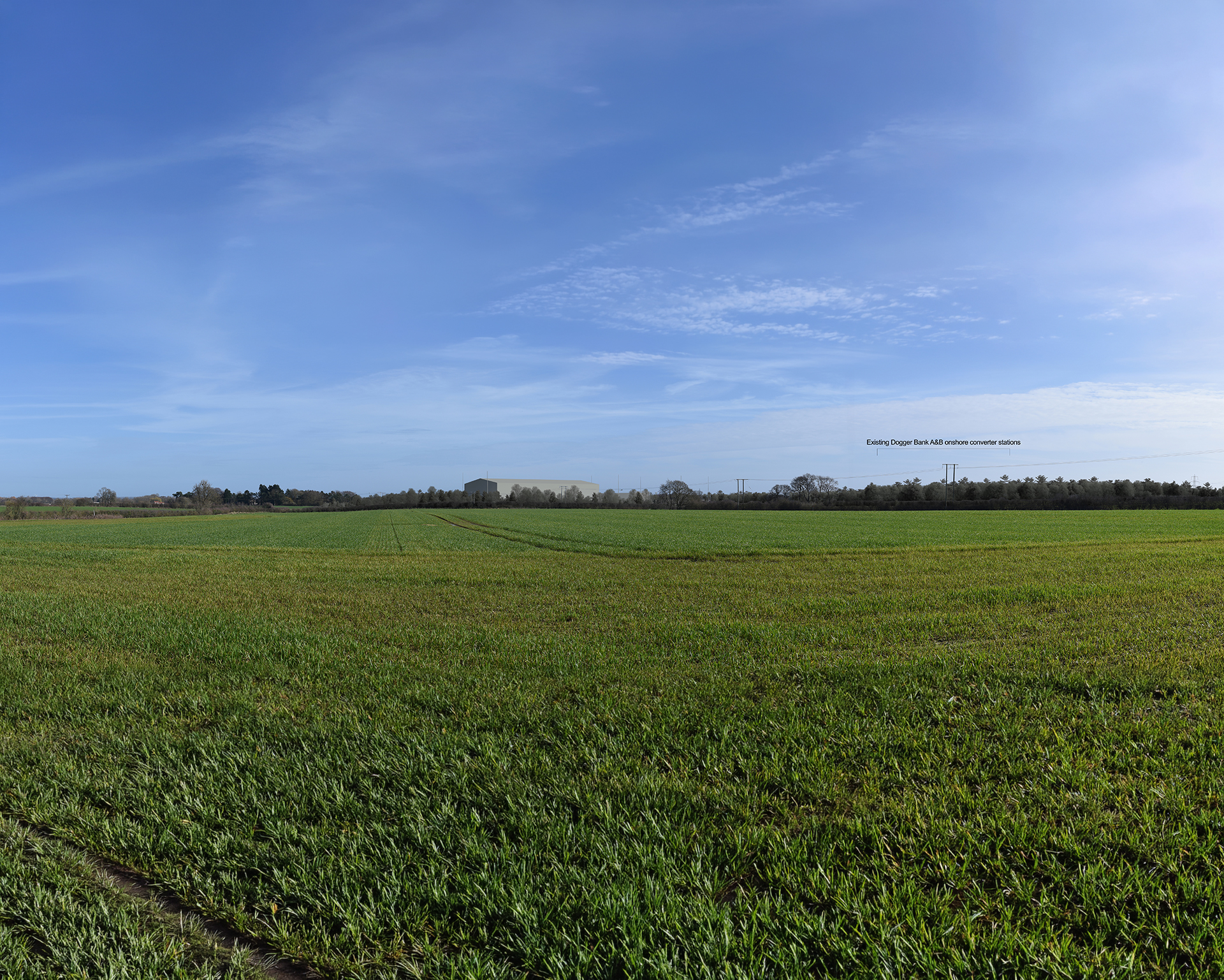
For each of the viewpoints, three visualisations have been prepared. The first image shows the baseline, which is the existing view. This can be compared with the “Proposed” and the “After 15 years” image. The “Proposed” image shows the OCS at completion (Year 0). “After 15 years” shows an image of the view at Year 15, with mature indicative landscape mitigation planting.
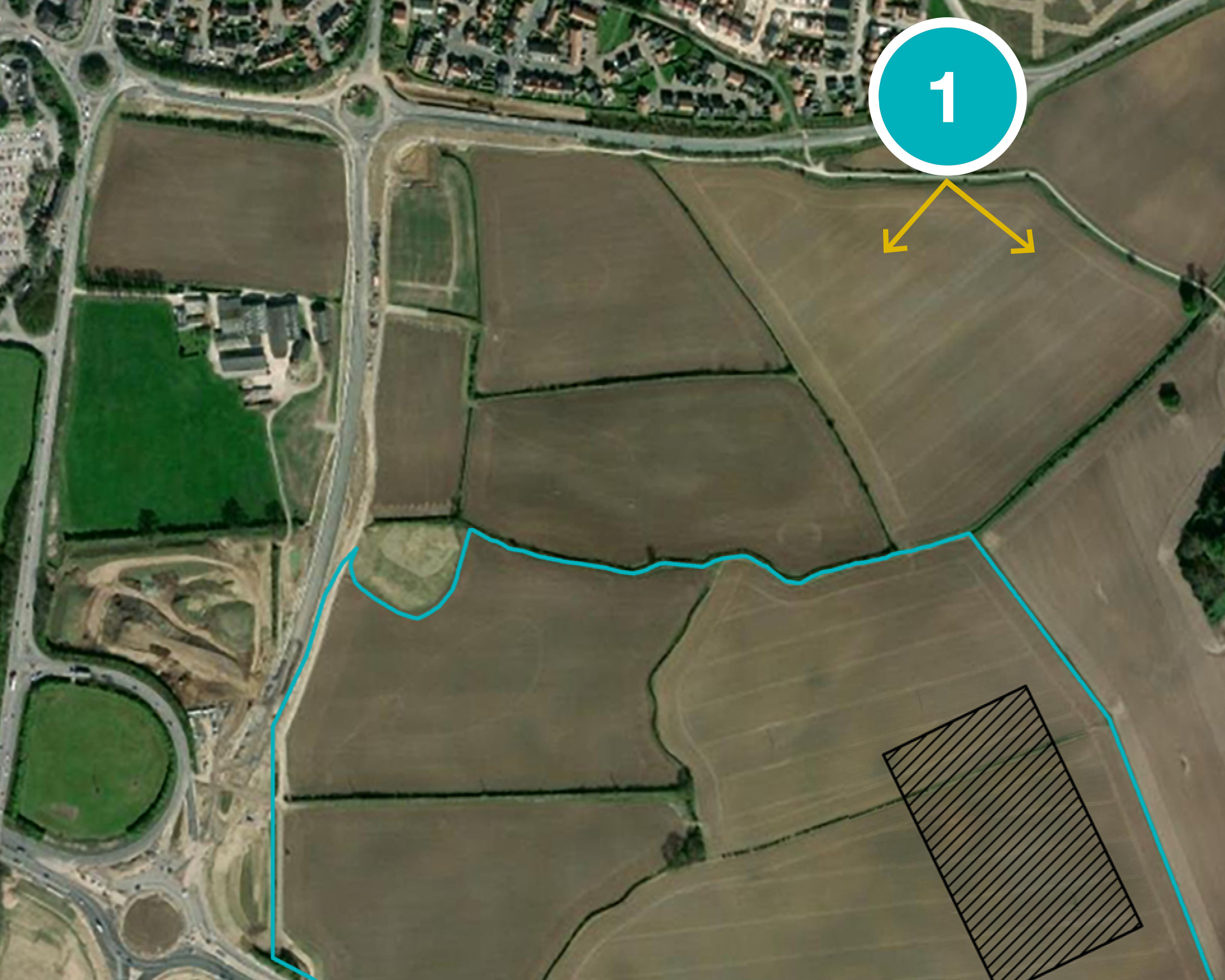
VP 1: Shepherd Lane - Shepherd Lane is located near the southern edge of Beverley. Views from this viewpoint look across agricultural fields separated by hedgerows and woodland belts in the middle distance. The existing Dogger Bank A & B onshore converter stations are visible to the south-east. At Year 0, views of the OCS would be open, with existing hedgerows providing minimal screening. By Year 15, mitigation planting to the north of the OCS would partially screen the lower extents of the OCS. The upper extents would be visible above the tree line. The proposed mitigation planting would contribute to the pattern of woodland belts in the surrounding fields.
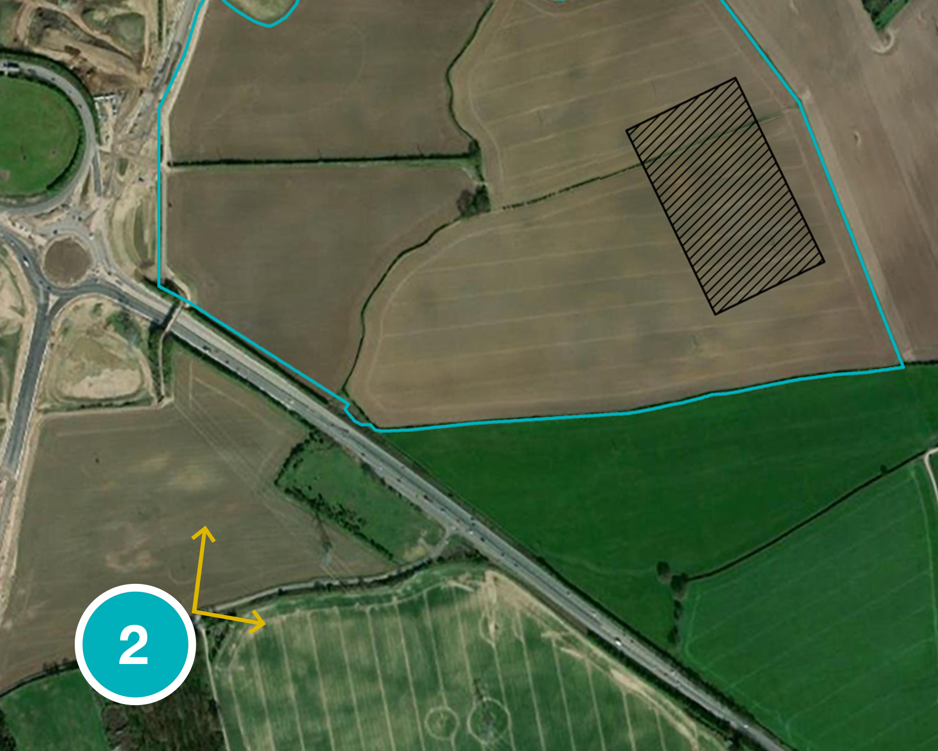
VP 2: Beverley 20 - Views from the Beverley 20 looks across a field with roadside vegetation screening views of the A1079 in the middle-distance. At Year 0, existing roadside vegetation would partially screen views of the OCS. By Year 15, the proposed mitigation planting would almost entirely screen the OCS.
VP 3: Beverley Parks - This viewpoint is located on the footpath near Model Farm. Views from Beverly Parks look across fields divided by post and wire fencing and hedgerows towards Bramble Hill Farm and the Deira Park housing development. At Year 0, the OCS would be visible in the middle distance. The existing hedgerow provides minimal screening. By Year 15, the proposed mitigation planting would screen views of the lower elements of the OCS. The upper extents of the OCS, including the lightning protection masts would be visible above the tree line.
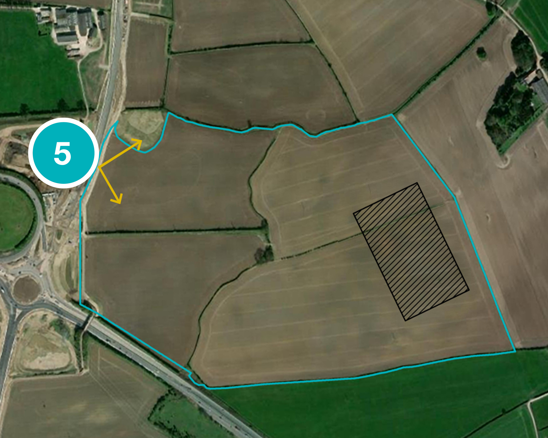
VP5: Footpath along A164 - This viewpoint is located on the new footpath next to the new stretch of A164 associated with the Jock’s Lodge works. Views east from the footpath extend across fields, with hedgerows and woodland belts visible in the distance. The existing Dogger Bank A & B onshore converter stations are visible to the south-east. At Year 0, the OCS would be visible in the middle distance. It would be seen in the context of the existing Dogger Bank A & B onshore converter stations, and would be afforded minimal screening by existing landscape features. By Year 15, the proposed mitigation planting would screen much of the lower extents of the OCS. In addition, the mitigation planting would screen views of the Dogger Bank A & B onshore converter stations. Once matured, the mitigation planting would contribute to the existing pattern of woodland belts.
The visualisations are intended to be indicative and may change as the proposals are refined. PDF versions of the visualisations for each viewpoint are available to download from the document library.